Discover Wild Canada
Find the best free camping spots and outdoor activities on crown land across Canada
Pick a province Map of all of CanadaCrown land covers the large majority of most Canadian provinces — more than 937,000 square kilometres in Ontario alone, around 95% of British Columbia, about 60% of Alberta, most of northern Saskatchewan, and similar shares of Manitoba, New Brunswick and Newfoundland and Labrador. Each province manages its own public land and sets its own rules, but almost everywhere crown land is open for free camping, hunting, fishing and off-highway vehicle use, usually with a stay limit of 14 to 21 days per site. This map brings those provincial datasets together so you can see what is public land before you go, then check the rules for the province you are heading to.
Crown land, province by province
Each province has its own data, its own rules and its own map.
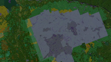
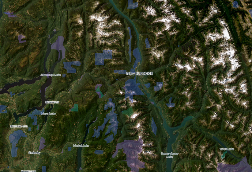
British Columbia
British Columbia's crown land spans roughly 94% of the province — over 85 million hectares of mountains, old-growth forests, river valleys and coastline managed by the Ministry of Forests.
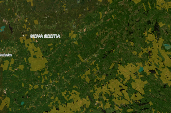
Nova Scotia
Nova Scotia's crown land covers approximately 1.5 million hectares, primarily in inland and northern areas of the province, managed by the Department of Natural Resources and Renewables.
Newfoundland and Labrador
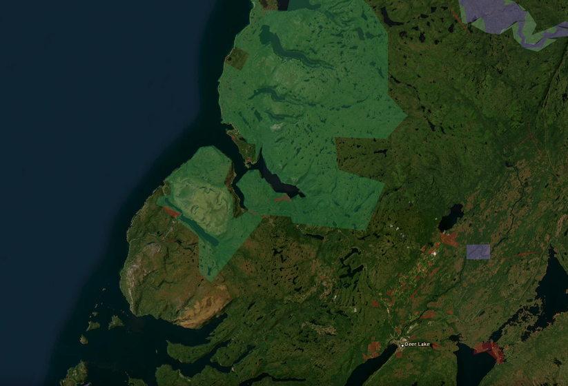
Most of Newfoundland and Labrador's land base is Crown land by default, managed by the Department of Fisheries, Forestry and Agriculture — land only leaves Crown ownership when a title is granted.
New Brunswick
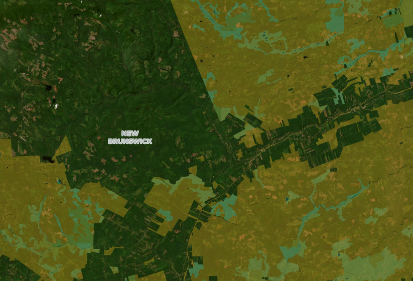
New Brunswick's crown land covers approximately 5.2 million hectares — about 75% of the province — largely composed of mixed Acadian forest managed for timber, wildlife and recreation by the Department of Natural Resources and Energy Development.
Saskatchewan
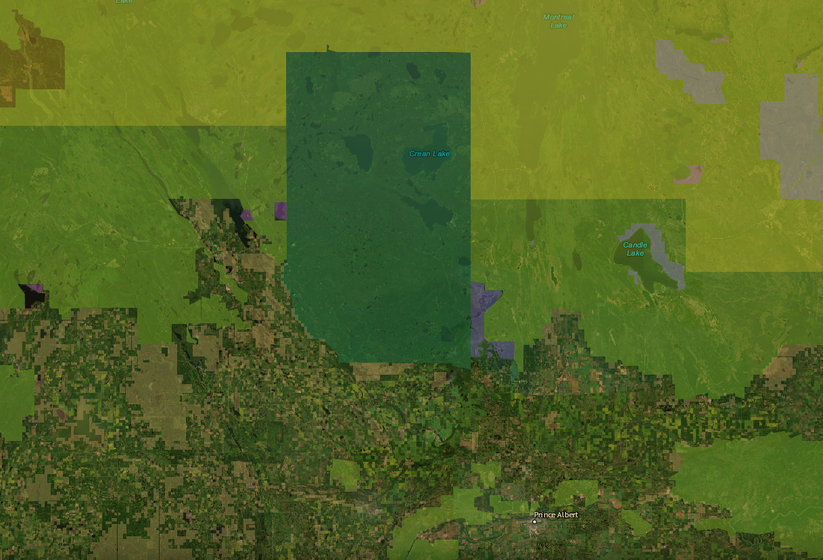
About half of Saskatchewan is the Northern Administration District: boreal forest, Canadian Shield rock and lakes, almost all of it provincial Crown land managed by the Ministry of Environment.
BorealMaps: the app that reads your geo-referenced PDF maps
Export a map here, open it in BorealMaps on your phone, and your GPS position shows up right on it — with no cell signal at all.

Plan Your Next Road Trip
The Itinerary Planner lets you draw any route on the map, split it into segments, and instantly generate offline-ready geo-referenced PDF maps for every leg of your journey.
Road tripsDownload PDF
Generate geo-referenced PDF maps with your selected areas and custom markers for offline use.
How geo-referenced PDF maps work See plans