Discover Wild Alberta
See where you can camp for free on Alberta public land, and find parks, recreation areas and fishing lakes
Explore Map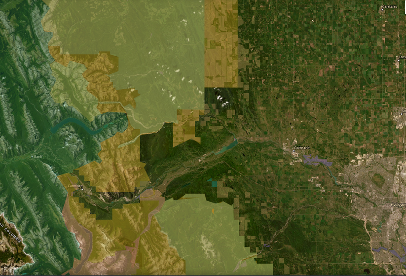
BorealMaps: the app that reads your geo-referenced PDF maps
Export a map here, open it in BorealMaps on your phone, and your GPS position shows up right on it — with no cell signal at all.
- Import your geo-referenced PDF maps, no limit
- Record your GPS track with the screen off
- Download whole regions for offline use
- Free to install

On iPhone: app.borealmaps.com works just as well, right in Safari.

Scan with your phone to install
Plan Your Next Road Trip
The Itinerary Planner lets you draw any route on the map, split it into segments, and instantly generate offline-ready geo-referenced PDF maps for every leg of your journey.
- Interactive route drawing — freehand or follow roads
- Geo-referenced PDF map for every segment
- Save & revisit your itineraries anytime
- Works offline in the backcountry
Subscriber-only feature — See plans
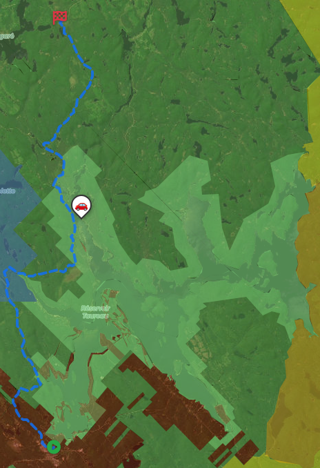
Download PDF
Generate geo-referenced PDF maps with your selected areas and custom markers for offline use.
How geo-referenced PDF maps work
Get unlimited downloads, private markers, ad-free experience and more with a subscription.
- Unlimited map downloads
- Private markers
- GPX/KML export
- No ads
- Cancel anytime
Free Camping
See where random camping is allowed on Alberta public land
Outdoor Activities
Hiking, fishing, hunting, off-highway vehicle trails and much more on Alberta public land
Canada Crown Land
About 60% of Alberta is public land, managed by Alberta Forestry and Parks. Almost all of it is in the Green Area, the forested north and the Eastern Slopes of the Rockies, where you may camp for free on vacant public land for up to 14 days at one spot. A Public Lands Camping Pass is required for camping on public land along the Eastern Slopes, and Public Land Use Zones such as Kananaskis Country, Ghost and McLean Creek have their own rules for camping and off-highway vehicles. In the settled White Area of the south and east, most land is private, and public land is mostly leased for grazing: before hunting, hiking or fishing on a grazing lease, contact the leaseholder, as required by the Recreational Access Regulation. The province is known for its trout streams, its walleye and pike lakes, and for elk, mule deer and bighorn sheep hunting.
About →